Scientists reconstruct ancient lost plates under Andes mountains
The Andes Mountains are the longest continuous mountain range in the world, stretching about 7,000 kilometers, or 4,300 miles, along the western coast of South America.
The Andean margin, where two tectonic plates meet, has long been considered the textbook example of a steady, continuous subduction event, where one plate slipped under another, eventually forming the mountain range seen today.
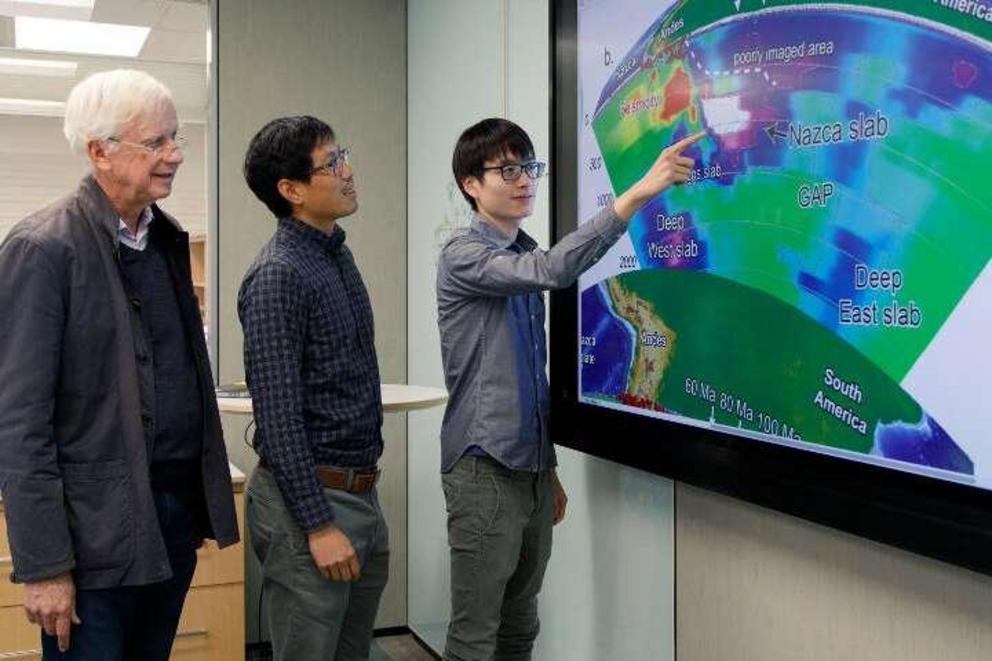
In a paper published in the journal Nature, geologists from the University of Houston demonstrate the reconstruction of the subduction of the Nazca Ocean plate, the remnants of which are currently found down to 1,500 kilometers, or about 900 miles, below the Earth's surface.
Their results show that the formation of the Andean mountain range was more complicated than previous models suggested.
"The Andes Mountain formation has long been a paradigm of plate tectonics," said Jonny Wu, assistant professor of geology at UH and a co-author of the paper.
When tectonic plates move under the Earth's crust and enter the mantle, they do not disappear. Rather, they sink toward the core, like leaves sinking to the bottom of a lake. As these plates sink, they retain some of their shape, offering glimpses of what the Earth's surface looked like millions of years ago.
These plate remnants can be imaged, similar to the way CT scans allow doctors to see inside of a patient, using data gleaned from earthquake waves.
"We have attempted to go back in time with more accuracy than anyone has ever done before. This has resulted in more detail than previously thought possible," Wu said. "We've managed to go back to the age of the dinosaurs."
Nazca Plate Subduction
The paper describes the deepest and oldest plate remnants reconstructed to date, with plates dating back to the Cretaceous Period.
"We found indications that when the slab reached the transition zone, it created signals on the surface," said Yi-Wei Chen, a Ph.D. geology student in the UH College of Natural Sciences and Mathematics and first author on the paper. A transition zone is a discontinuous layer in the Earth's mantle, one which, when a sinking plate hits it, slows the plate's movement, causing a build-up above it.
In addition to Wu and Chen, John Suppe, Distinguished Professor of Earth and Atmospheric Sciences at UH, is a co-author on the paper.
The researchers also found evidence for the idea that, instead of a steady, continuous subduction, at times the Nazca plate was torn away from the Andean margin, which led to volcanic activity. To confirm this, they modeled volcanic activity along the Andean margin.
"We were able to test this model by looking at the pattern of over 14,000 volcanic records along the Andes," Wu said.
The work was conducted as part of the UH Center for Tectonics and Tomography, which is directed by Suppe.
"The Center for Tectonics and Tomography brings together experts from different fields in order to relate tomography, which is the imaging of the Earth's interior from seismology, to the study of tectonics," Wu said. "For example, the same techniques we use to explore for these lost plates are adapted from petroleum exploration techniques."
More information: Southward propagation of Nazca subduction along the Andes, Nature (2019). DOI: 10.1038/s41586-018-0860-1 , www.nature.com/articles/s41586-018-0860-1
Journal reference: Nature
Provided by: University of Houston

